My Account
Token
Log out
Login
English
English
中文
home
>
maps
>
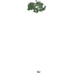
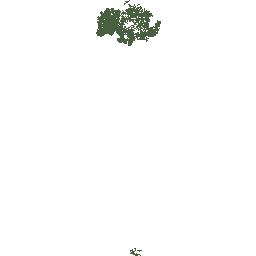
map(soil_polygon)
entireImage
Description:
The full extent of an image.
Image parameters:
Center: {"x": 118.76 ,"y": 33.41 }
Scale: 0.0000002192329077
View bounds:
Left bottom: {"x": 117.37 , "y":32.02 }
Right top: {"x": 120.15 , "y":34.8}
Size:
Width: 256
Height: 256
Size
Width
Height
Transparent
Yes
No
Target projection
EPSG:4326
EPSG:3857
Original
HTTP methods
GET
HEAD
Output formats
xml
json
fastjson
rjson
html
jsonp
bmp
gif
jpg
png
